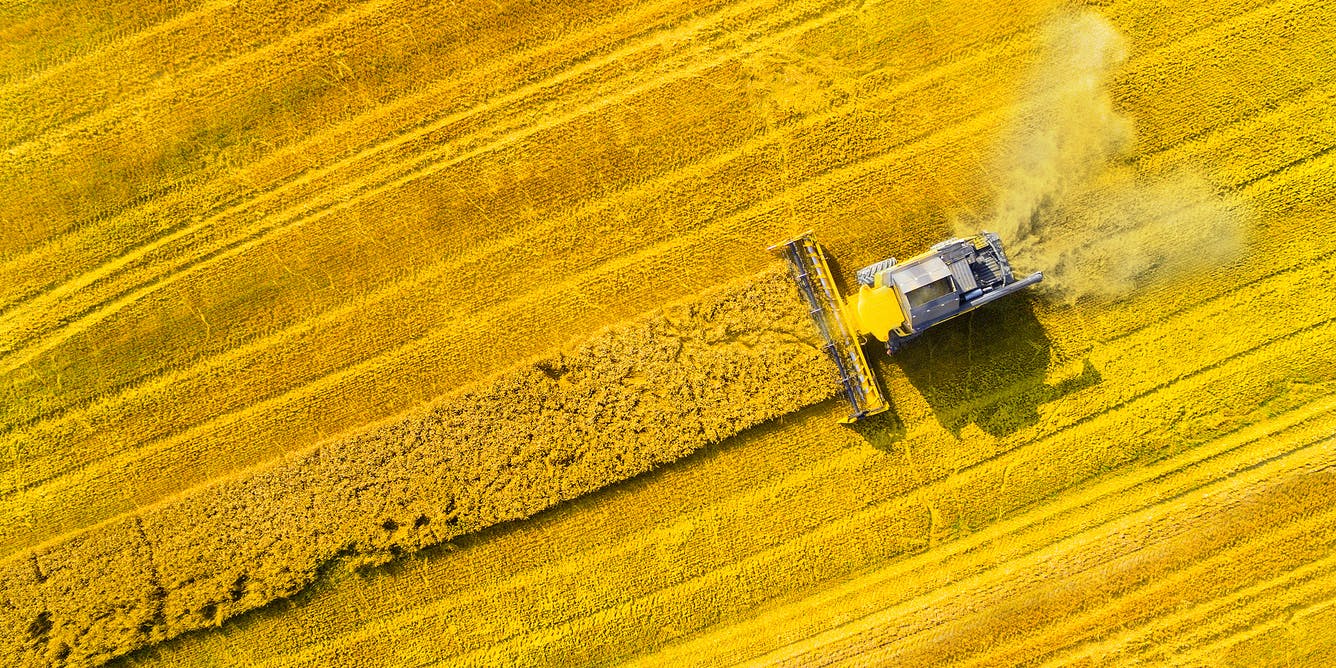
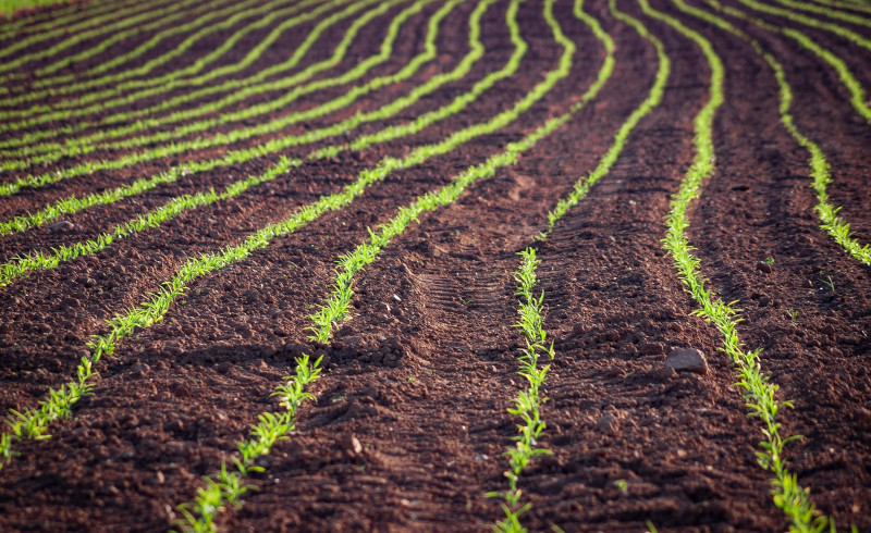
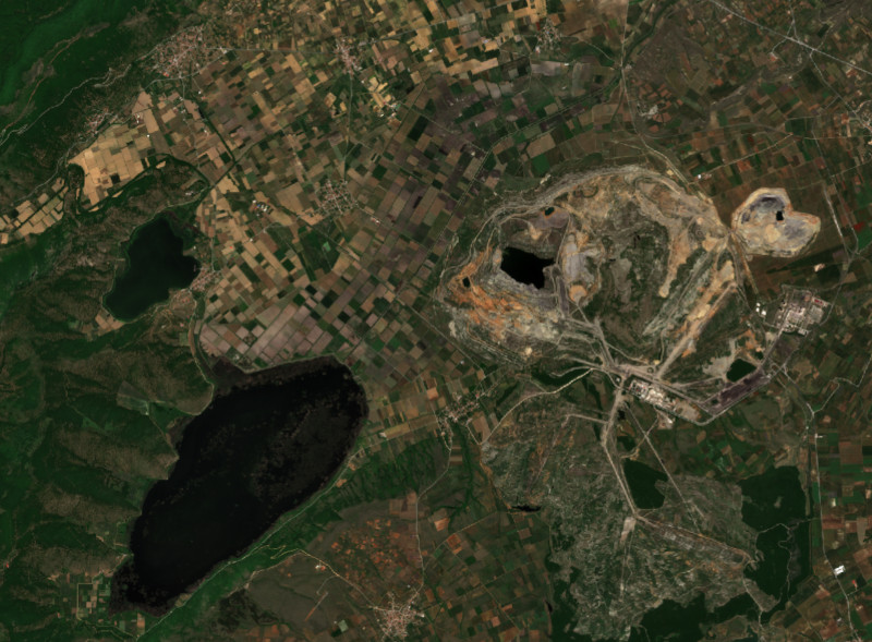
Thematic products
Maps of space-borne driven indices and field-related properties can convey the spatial relations within a field and enable the widespread use of more sustainable field practices. Below you can find some of our generated products.
For the World Soil Day 2022, we developed the colours of the Greek soils.
H2020 EIFFEL Project - Pilot 2 Sustainable Agriculture National Scale
Part of the ESA funded WorldSoils project, the SOC map for the state of Bavaria, Germany, was generated via a CNN model applied to Copernicus data.
The NDVI of a part of the lake Zazari basin, in Western Macedonia, Greece was calculated for the summer of 2021 from Copernicus Sentinel-2 data at 10m resolution. This effort was part of the AERIS project.
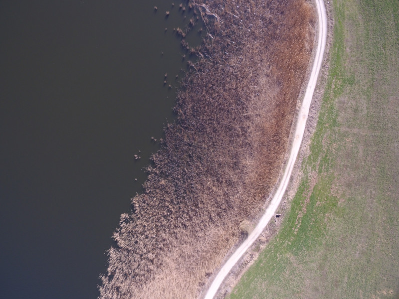
The NDVI of a part of the lake Zazari basin, in Western Macedonia, Greece was calculated for the summer of 2021 from planetscope data at 3m resolution. This effort was part of the AERIS project.
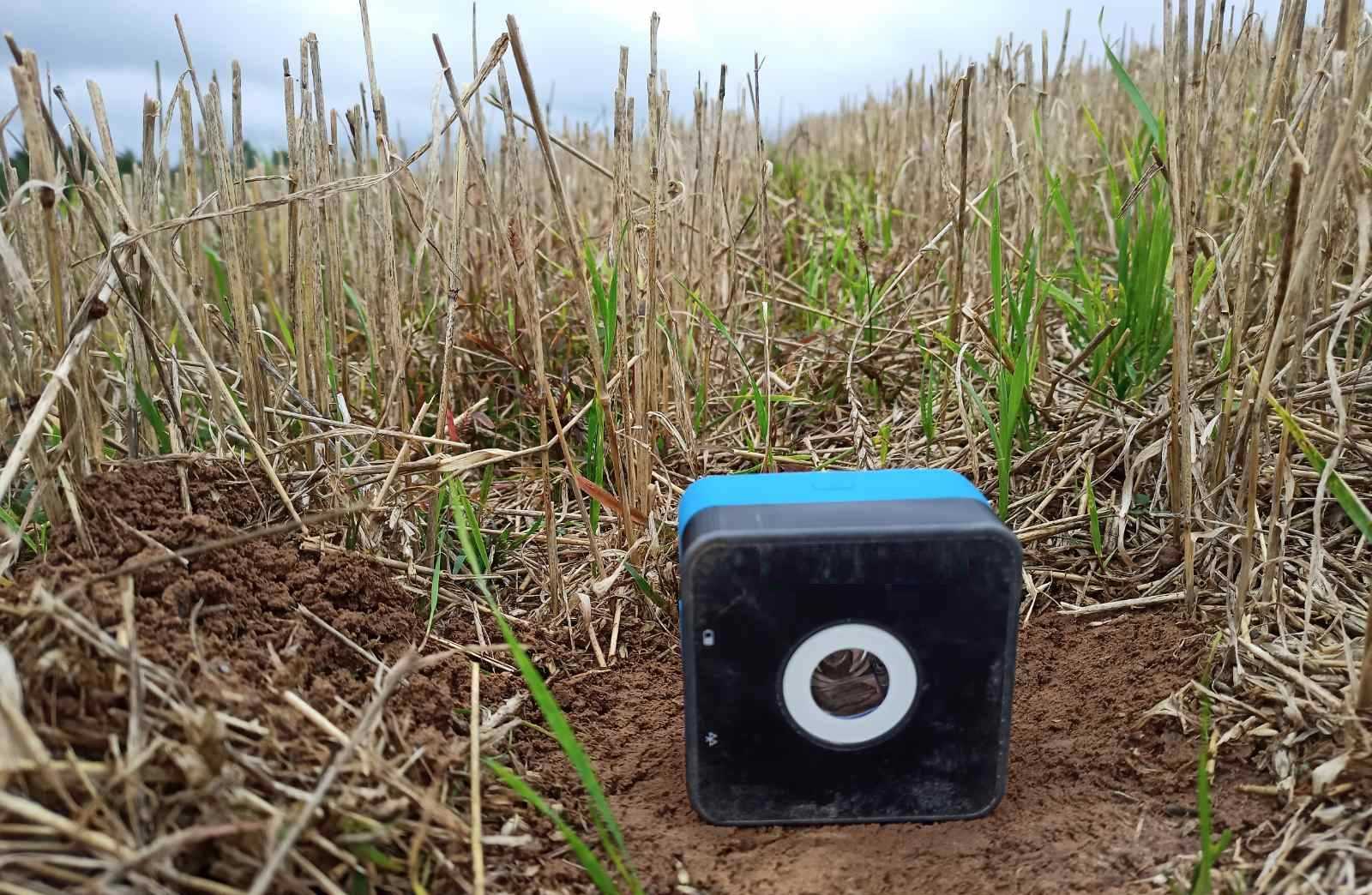
Part of the DIONE project, the SOC content was calculated for specific parcels in three different regions in the Republic of Cyprus, during the summer of 2021. The modeling was conducted through fusing crowd-sourced data collected from MEMS spectral sensors and Copernicus data.
Part of the DIONE project, the SOC content was calculated for specific parcels in three different regions in the Republic of Lithuania, during the summer of 2021. The modeling was conducted through fusing crowd-sourced data collected from MEMS spectral sensors and Copernicus data.

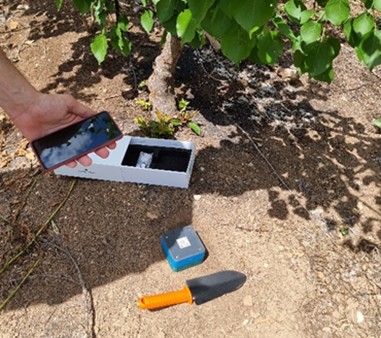
Part of the AERIS project, demonstratiting the application and utility of GIS-based land suitability modeling in viticulture development in Amyntaio. Maps produced in this study provide knowledge of the climate and environmental trends, which is critical when choosing where and what cultivar to grow. With such resources, growers can be better prepared to invest and expand this pivotal agricultural sector.